Fields in Langwith
Introduction
The photograph on this page of Fields in Langwith by Chris Heaton as part of the Geograph project.
The Geograph project started in 2005 with the aim of publishing, organising and preserving representative images for every square kilometre of Great Britain, Ireland and the Isle of Man.

There are currently over 7.5m images from over 14,400 individuals and you can help contribute to the project by visiting https://www.geograph.org.uk
Fields in Langwith
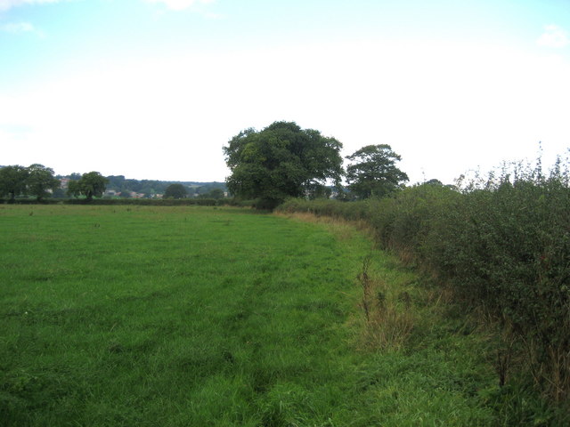
Image: © Chris Heaton Taken: 26 Sep 2006
Right of Way follows the hedge in the direction of Well Village
Images are licensed for reuse under creativecommons.org/licenses/by-sa/2.0
Image Location


Leaflet Map data © OpenStreetMap
Latitude
54.232059
Longitude
-1.575029