Canonbie village
Introduction
The photograph on this page of Canonbie village by Oliver Dixon as part of the Geograph project.
The Geograph project started in 2005 with the aim of publishing, organising and preserving representative images for every square kilometre of Great Britain, Ireland and the Isle of Man.

There are currently over 7.5m images from over 14,400 individuals and you can help contribute to the project by visiting https://www.geograph.org.uk
Canonbie village
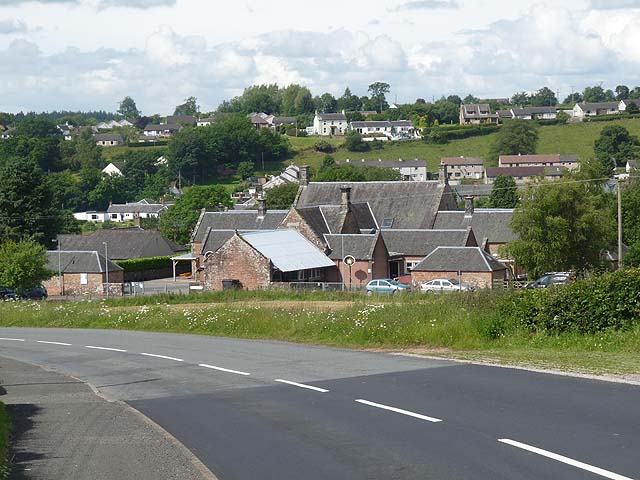
Image: © Oliver Dixon Taken: 1 Jul 2011
The houses in the distance are on the far side of the River Esk.
Images are licensed for reuse under creativecommons.org/licenses/by-sa/2.0
Image Location


Leaflet Map data © OpenStreetMap
Latitude
55.080397
Longitude
-2.951233