The Cricketers, Horsell
Introduction
The photograph on this page of The Cricketers, Horsell by Alan Hunt as part of the Geograph project.
The Geograph project started in 2005 with the aim of publishing, organising and preserving representative images for every square kilometre of Great Britain, Ireland and the Isle of Man.

There are currently over 7.5m images from over 14,400 individuals and you can help contribute to the project by visiting https://www.geograph.org.uk
The Cricketers, Horsell
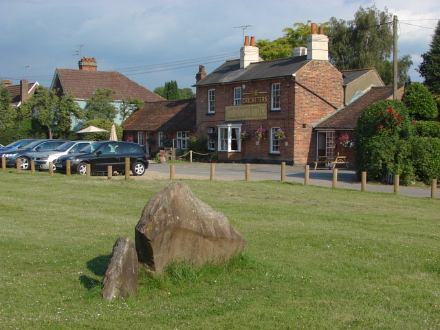
Image: © Alan Hunt Taken: 2 Jul 2011
The Cricketers from the green. There is a large block of sandstone in the foreground, typical of the type that is associated with the Bagshot Beds.
Images are licensed for reuse under creativecommons.org/licenses/by-sa/2.0
Image Location
Latitude
51.326292
Longitude
-0.582836