Shapwick, farm buildings
Introduction
The photograph on this page of Shapwick, farm buildings by Mike Faherty as part of the Geograph project.
The Geograph project started in 2005 with the aim of publishing, organising and preserving representative images for every square kilometre of Great Britain, Ireland and the Isle of Man.

There are currently over 7.5m images from over 14,400 individuals and you can help contribute to the project by visiting https://www.geograph.org.uk
Shapwick, farm buildings
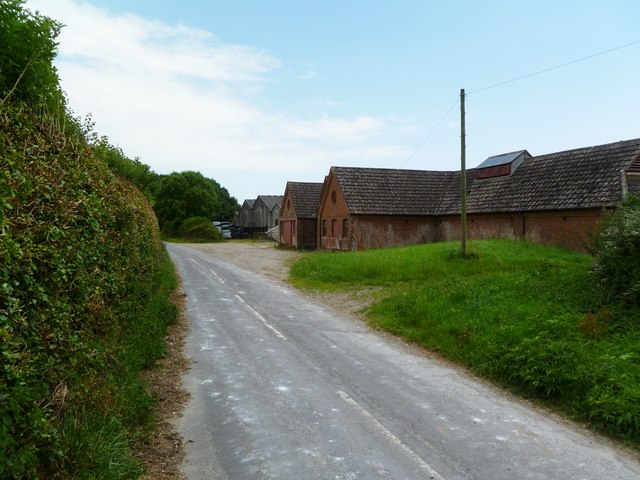
Image: © Mike Faherty Taken: 2 Jul 2011
On Park Lane. According to OS Explorer, the farm is Priory Farm, but according to the farm sign, Higher Dairy. The brick buildings bear a datestone of 1908.
Images are licensed for reuse under creativecommons.org/licenses/by-sa/2.0
Image Location
Latitude
50.817787
Longitude
-2.081429