Boddam Harbour
Introduction
The photograph on this page of Boddam Harbour by Bob Jones as part of the Geograph project.
The Geograph project started in 2005 with the aim of publishing, organising and preserving representative images for every square kilometre of Great Britain, Ireland and the Isle of Man.

There are currently over 7.5m images from over 14,400 individuals and you can help contribute to the project by visiting https://www.geograph.org.uk
Boddam Harbour
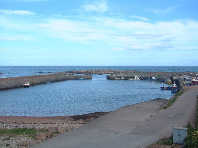
Image: © Bob Jones Taken: Unknown
The large harbour just south of Peterhead used to be very busy with the herring fishery, but is now used by only a few small fishing boats and leisure craft.
Images are licensed for reuse under creativecommons.org/licenses/by-sa/2.0
Image Location


Leaflet Map data © OpenStreetMap
Latitude
57.474368
Longitude
-1.779892