Sandhaven Harbour
Introduction
The photograph on this page of Sandhaven Harbour by Bob Jones as part of the Geograph project.
The Geograph project started in 2005 with the aim of publishing, organising and preserving representative images for every square kilometre of Great Britain, Ireland and the Isle of Man.

There are currently over 7.5m images from over 14,400 individuals and you can help contribute to the project by visiting https://www.geograph.org.uk
Sandhaven Harbour
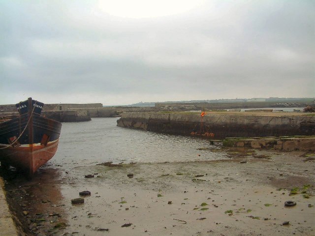
Image: © Bob Jones Taken: Unknown
A few creel fishing boats still sail daily from Sandhaven harbour although the walls in some places have been breached.
Images are licensed for reuse under creativecommons.org/licenses/by-sa/2.0
Image Location


Leaflet Map data © OpenStreetMap
Latitude
57.695512
Longitude
-2.0587