Castle Street, Dover
Introduction
The photograph on this page of Castle Street, Dover by John Baker as part of the Geograph project.
The Geograph project started in 2005 with the aim of publishing, organising and preserving representative images for every square kilometre of Great Britain, Ireland and the Isle of Man.

There are currently over 7.5m images from over 14,400 individuals and you can help contribute to the project by visiting https://www.geograph.org.uk
Castle Street, Dover
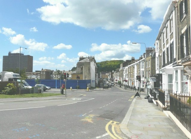
Image: © John Baker Taken: 1 Jul 2011
The blue boards across Maison Dieu Road hide the site of the former MFI retail warehouse that was in the process of being demolished when I photographed it on 13 March 2011 Image It does mean that the buildings that were hidden from view are now visible.
Images are licensed for reuse under creativecommons.org/licenses/by-sa/2.0
Image Location


Leaflet Map data © OpenStreetMap
Latitude
51.126351
Longitude
1.315918