Field, Llanvihangel Pontymoel
Introduction
The photograph on this page of Field, Llanvihangel Pontymoel by Jaggery as part of the Geograph project.
The Geograph project started in 2005 with the aim of publishing, organising and preserving representative images for every square kilometre of Great Britain, Ireland and the Isle of Man.

There are currently over 7.5m images from over 14,400 individuals and you can help contribute to the project by visiting https://www.geograph.org.uk
Field, Llanvihangel Pontymoel
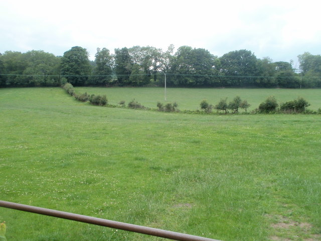
Image: © Jaggery Taken: 1 Jul 2011
Viewed from a field gate at the edgw of the Horse & Jockey http://www.geograph.org.uk/photo/2486456 car park. The trees in the distance are along the edge of the Monmouthshire & Brecon Canal.
Images are licensed for reuse under creativecommons.org/licenses/by-sa/2.0
Image Location
Latitude
51.705167
Longitude
-3.01295