Eastern reservoir between Bury St. Austen's and Ridge Hanger
Introduction
The photograph on this page of Eastern reservoir between Bury St. Austen's and Ridge Hanger by Andy Potter as part of the Geograph project.
The Geograph project started in 2005 with the aim of publishing, organising and preserving representative images for every square kilometre of Great Britain, Ireland and the Isle of Man.

There are currently over 7.5m images from over 14,400 individuals and you can help contribute to the project by visiting https://www.geograph.org.uk
Eastern reservoir between Bury St. Austen's and Ridge Hanger
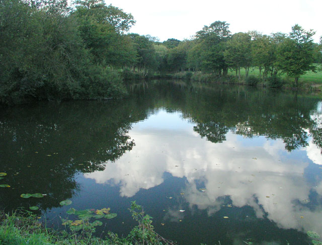
Image: © Andy Potter Taken: 26 Sep 2006
Seen from the dam between the eastern and western reservoirs. The western reservoir is about 6m lower but both are about 8m deep. Penn Sport angling club is based here (I think). The track on top of the dam connects Footpath 1406 to the Sussex Border Path (Footpath 1405) near Bury St. Austen's Farm.
Images are licensed for reuse under creativecommons.org/licenses/by-sa/2.0
Image Location


Leaflet Map data © OpenStreetMap
Latitude
51.102666
Longitude
-0.415999