St Columbs Road / Browning Drive
Introduction
The photograph on this page of St Columbs Road / Browning Drive by Kenneth Allen as part of the Geograph project.
The Geograph project started in 2005 with the aim of publishing, organising and preserving representative images for every square kilometre of Great Britain, Ireland and the Isle of Man.

There are currently over 7.5m images from over 14,400 individuals and you can help contribute to the project by visiting https://www.geograph.org.uk
St Columbs Road / Browning Drive
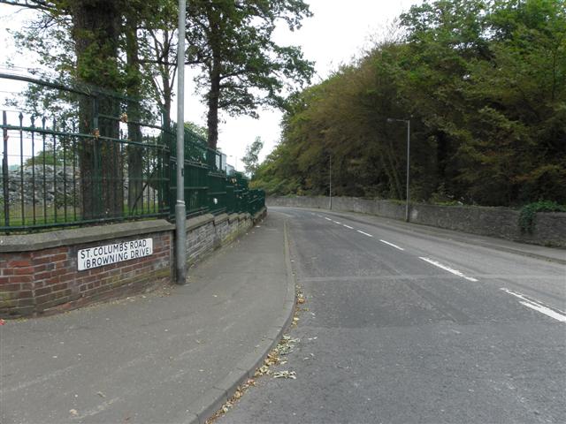
Image: © Kenneth Allen Taken: 1 Jul 2011
Heading north-west towards the former Ebrington Barracks and the new Peace Bridge across the Foyle at Derry / Londonderry
Images are licensed for reuse under creativecommons.org/licenses/by-sa/2.0
Image Location
Latitude
55.000472
Longitude
-7.306011