Preston Park Avenue, near the top end.
Introduction
The photograph on this page of Preston Park Avenue, near the top end. by Josie Campbell as part of the Geograph project.
The Geograph project started in 2005 with the aim of publishing, organising and preserving representative images for every square kilometre of Great Britain, Ireland and the Isle of Man.

There are currently over 7.5m images from over 14,400 individuals and you can help contribute to the project by visiting https://www.geograph.org.uk
Preston Park Avenue, near the top end.
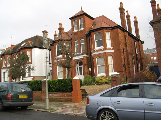
Image: © Josie Campbell Taken: 31 Dec 2006
My great grandparents must have loved this road, starting with a new build at the bottom of the road, down sizing when they got older the three quarters up the road, and in 1950 at the age of 89 my great grandmother moved in here towards the top of the road. Possibly this was flats or a home.
Images are licensed for reuse under creativecommons.org/licenses/by-sa/2.0
Image Location
Latitude
50.843366
Longitude
-0.145255