"End of dual carriageway" sign, Trooperslane, Carrickfergus
Introduction
The photograph on this page of "End of dual carriageway" sign, Trooperslane, Carrickfergus by Albert Bridge as part of the Geograph project.
The Geograph project started in 2005 with the aim of publishing, organising and preserving representative images for every square kilometre of Great Britain, Ireland and the Isle of Man.

There are currently over 7.5m images from over 14,400 individuals and you can help contribute to the project by visiting https://www.geograph.org.uk
"End of dual carriageway" sign, Trooperslane, Carrickfergus
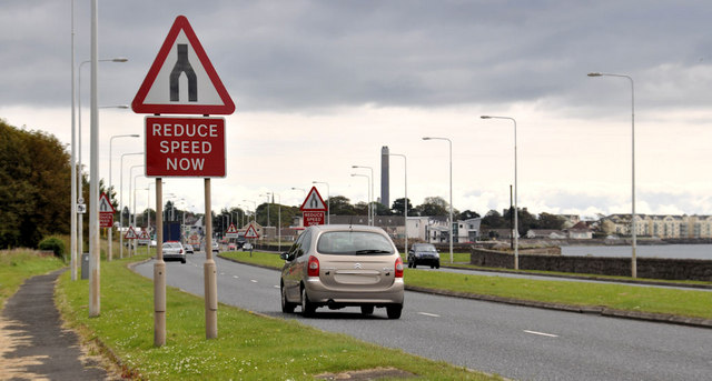
Image: © Albert Bridge Taken: 1 Jul 2011
The “end of dual carriageway” sign at the end of this short stretch (about a mile) of dual carriageway on the Belfast – Carrickfergus road. It continues as a four-lane road as far as Downshire.
Images are licensed for reuse under creativecommons.org/licenses/by-sa/2.0
Image Location
Latitude
54.706935
Longitude
-5.837289