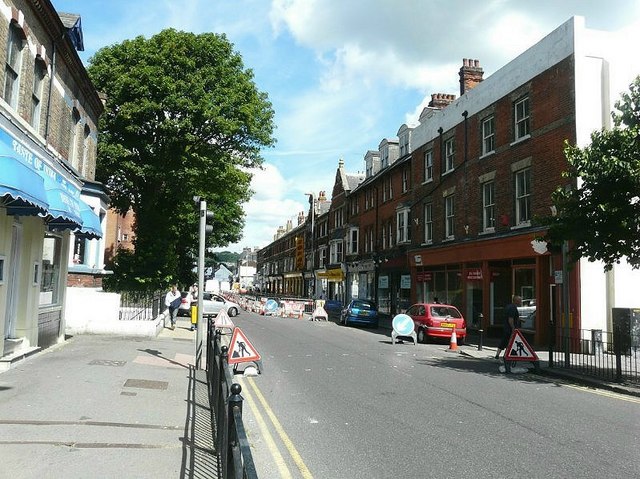
London Road (A256), Dover
Introduction
The photograph on this page of London Road (A256), Dover by John Baker as part of the Geograph project.
The Geograph project started in 2005 with the aim of publishing, organising and preserving representative images for every square kilometre of Great Britain, Ireland and the Isle of Man.
There are currently over 7.5m images from over 14,400 individuals and you can help contribute to the project by visiting https://www.geograph.org.uk

Image: © John Baker Taken: 1 Jul 2011
Road signs are seen directing traffic away from the right hand side of the road where a safety-barrier has been erected during gas main replacement work. It looked as if the work had almost been completed as the trench for the pipework had been filled in, to just below road level. Nearer towards the town centre, there was another sign indicating that this work would start on 14 February 2011 and last for 23 weeks.

