Centre of Littleham Village
Introduction
The photograph on this page of Centre of Littleham Village by David Smith as part of the Geograph project.
The Geograph project started in 2005 with the aim of publishing, organising and preserving representative images for every square kilometre of Great Britain, Ireland and the Isle of Man.

There are currently over 7.5m images from over 14,400 individuals and you can help contribute to the project by visiting https://www.geograph.org.uk
Centre of Littleham Village
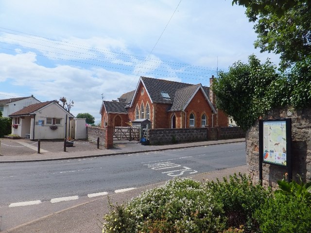
Image: © David Smith Taken: 1 Jul 2011
The building on the left is a former public lavatory, now closed because of reduced local authority funds. On the right, the building looks like a private house, converted from a hall or school?
Images are licensed for reuse under creativecommons.org/licenses/by-sa/2.0
Image Location
Latitude
50.62248
Longitude
-3.37431