Lane, Carrickfergus
Introduction
The photograph on this page of Lane, Carrickfergus by Albert Bridge as part of the Geograph project.
The Geograph project started in 2005 with the aim of publishing, organising and preserving representative images for every square kilometre of Great Britain, Ireland and the Isle of Man.

There are currently over 7.5m images from over 14,400 individuals and you can help contribute to the project by visiting https://www.geograph.org.uk
Lane, Carrickfergus
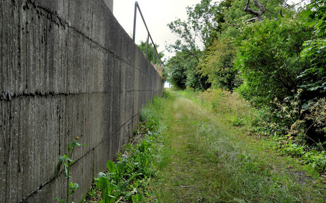
Image: © Albert Bridge Taken: 1 Jul 2011
The Belfast Road end of a lane which formerly led to and through part of the old Courtaulds factory Image (behind the wall on the left). I might be wrong but I think that it eventually led to the railway close to Mount station. The station was built to serve employees of the factory and did not have any public access.
Images are licensed for reuse under creativecommons.org/licenses/by-sa/2.0
Image Location
Latitude
54.707745
Longitude
-5.837401