Footbridge near Glynhafren
Introduction
The photograph on this page of Footbridge near Glynhafren by John Lucas as part of the Geograph project.
The Geograph project started in 2005 with the aim of publishing, organising and preserving representative images for every square kilometre of Great Britain, Ireland and the Isle of Man.

There are currently over 7.5m images from over 14,400 individuals and you can help contribute to the project by visiting https://www.geograph.org.uk
Footbridge near Glynhafren
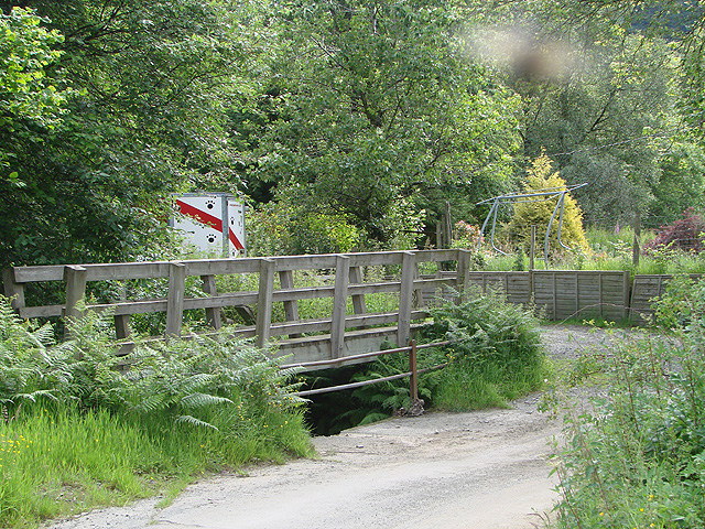
Image: © John Lucas Taken: 1 Jul 2011
The footbridge is marked on the Explorer map. It only comes into its own at times of high water and the water that normally runs in pipes under the road rises to a level where it flows across the road, forming a ford. I do wonder how many people actually walk along this very quiet road and would actually need to use the bridge. See also Nigel Brown's Image taken in 2008.
Images are licensed for reuse under creativecommons.org/licenses/by-sa/2.0
Image Location
Latitude
52.451452
Longitude
-3.635538