The Sloefield Road, Carrickfergus
Introduction
The photograph on this page of The Sloefield Road, Carrickfergus by Albert Bridge as part of the Geograph project.
The Geograph project started in 2005 with the aim of publishing, organising and preserving representative images for every square kilometre of Great Britain, Ireland and the Isle of Man.

There are currently over 7.5m images from over 14,400 individuals and you can help contribute to the project by visiting https://www.geograph.org.uk
The Sloefield Road, Carrickfergus
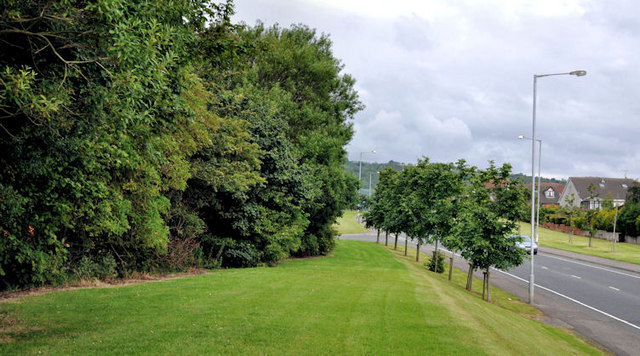
Image: © Albert Bridge Taken: 1 Jul 2011
A road, off the Belfast Road, through part of the site of the old Courtaulds factory Image, built to open the site to mixed residential and commercial development. Technically it’s probably a “spine” road.
Images are licensed for reuse under creativecommons.org/licenses/by-sa/2.0
Image Location
Latitude
54.709409
Longitude
-5.834984