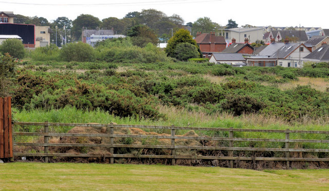
Development site, Carrickfergus (2)
Introduction
The photograph on this page of Development site, Carrickfergus (2) by Albert Bridge as part of the Geograph project.
The Geograph project started in 2005 with the aim of publishing, organising and preserving representative images for every square kilometre of Great Britain, Ireland and the Isle of Man.
There are currently over 7.5m images from over 14,400 individuals and you can help contribute to the project by visiting https://www.geograph.org.uk

Image: © Albert Bridge Taken: 1 Jul 2011
Part of a site, between the Sloefield Road (foreground) and the Belfast Road. Described by the agent as “The subject property comprises a substantial portion of land extending from the Belfast Road in a north westerly direction and is approximately 0.5 miles from Carrickfergus town centre. Currently the site is approached via Sloefield Road and Priory Drive, although there is potential for a second access. The subject site is a regular shaped portion of land which is largely in rough grass. The site forms part of the original Courtaulds Industrial complex and benefits from an extensive frontage to Belfast Road and uninterrupted views over Belfast Lough, beyond the road. The site had currently benefited from planning permission for 39 detached bungalows. Application No. U/2001/0279/F. We are advised this permission was passed in 2003, therefore we recommend all parties to satisfy themselves to the validity with the Planning Service NI. Total site area: 9.96 acres (4.03 hectares).” This photograph appears as a matter of record only. I have no connection with the owner or the agent.

