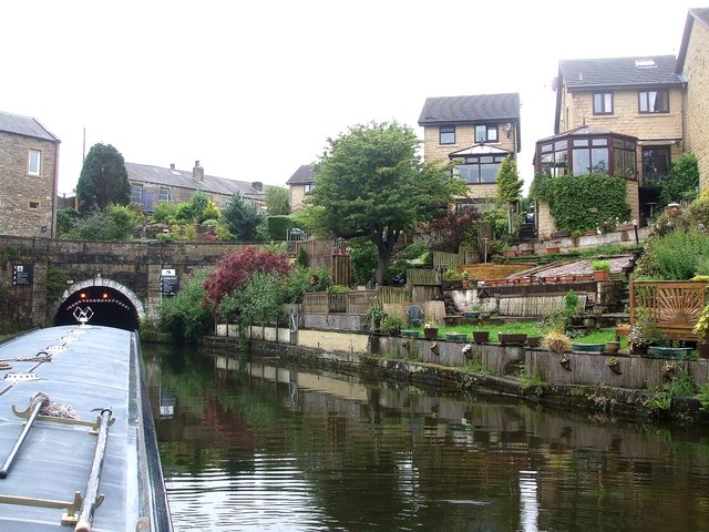
Approaching Foulridge Tunnel
Introduction
The photograph on this page of Approaching Foulridge Tunnel by Rob Farrow as part of the Geograph project.
The Geograph project started in 2005 with the aim of publishing, organising and preserving representative images for every square kilometre of Great Britain, Ireland and the Isle of Man.
There are currently over 7.5m images from over 14,400 individuals and you can help contribute to the project by visiting https://www.geograph.org.uk

Image: © Rob Farrow Taken: 25 Jun 2011
The eastern portal of Foulridge Tunnel is in the village from which it takes its name. As can be seen, the tunnel has traffic lights to control passage, which is just as well, because double-width barges (c. 14' wide) use this canal and virtually fill the tunnel widthwise - and after the lights had turned green and we started to head towards the portal, a blast of a horn announced the appearance of such a barge ! Head-on collision thus averted ! Modern houses can be seen climbing the bank on the northern side of the canal. For a closer view of the entrance see Image]

