The new A470 near Llanrwst (1)
Introduction
The photograph on this page of The new A470 near Llanrwst (1) by Richard Hoare as part of the Geograph project.
The Geograph project started in 2005 with the aim of publishing, organising and preserving representative images for every square kilometre of Great Britain, Ireland and the Isle of Man.

There are currently over 7.5m images from over 14,400 individuals and you can help contribute to the project by visiting https://www.geograph.org.uk
The new A470 near Llanrwst (1)
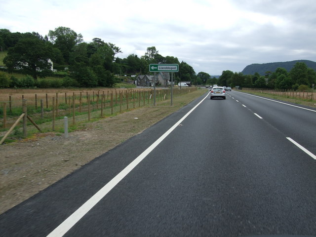
Image: © Richard Hoare Taken: 28 Jun 2011
Following completion of the roadworks the bends at Tan Lan have been eliminated. Here 'we' are approaching the turnoff for Llanddoged. The original course of the road, which is just visible, ran to the side of the photograph and past the houses to the side and in the distance.
Images are licensed for reuse under creativecommons.org/licenses/by-sa/2.0
Image Location


Leaflet Map data © OpenStreetMap
Latitude
53.160052
Longitude
-3.811335