A538 at Tytherington
Introduction
The photograph on this page of A538 at Tytherington by Paul Anderson as part of the Geograph project.
The Geograph project started in 2005 with the aim of publishing, organising and preserving representative images for every square kilometre of Great Britain, Ireland and the Isle of Man.

There are currently over 7.5m images from over 14,400 individuals and you can help contribute to the project by visiting https://www.geograph.org.uk
A538 at Tytherington
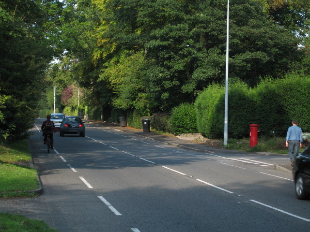
Image: © Paul Anderson Taken: 26 Sep 2006
Before the bypass was built this was the main road between Macclesfield and Stockport
Images are licensed for reuse under creativecommons.org/licenses/by-sa/2.0
Image Location
Latitude
53.275513
Longitude
-2.128926