Part of the top end of Blaencwm
Introduction
The photograph on this page of Part of the top end of Blaencwm by Jeremy Bolwell as part of the Geograph project.
The Geograph project started in 2005 with the aim of publishing, organising and preserving representative images for every square kilometre of Great Britain, Ireland and the Isle of Man.

There are currently over 7.5m images from over 14,400 individuals and you can help contribute to the project by visiting https://www.geograph.org.uk
Part of the top end of Blaencwm
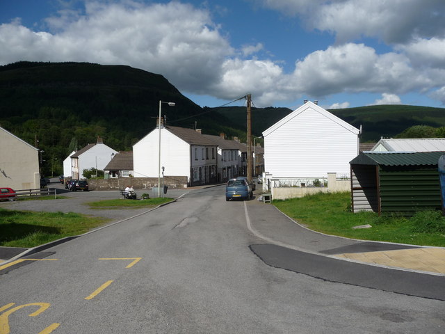
Image: © Jeremy Bolwell Taken: 30 Jun 2011
A retired couple sit on a bench in the sun, presumably local residents, judging by their Rhondda accents and their friendly comments as I passed. I bet they've seen some changes locally in their lifetimes.
Images are licensed for reuse under creativecommons.org/licenses/by-sa/2.0
Image Location
Latitude
51.676168
Longitude
-3.565796