Jenningtree Buoy, off Jenningtree Point
Introduction
The photograph on this page of Jenningtree Buoy, off Jenningtree Point by Robin Webster as part of the Geograph project.
The Geograph project started in 2005 with the aim of publishing, organising and preserving representative images for every square kilometre of Great Britain, Ireland and the Isle of Man.

There are currently over 7.5m images from over 14,400 individuals and you can help contribute to the project by visiting https://www.geograph.org.uk
Jenningtree Buoy, off Jenningtree Point
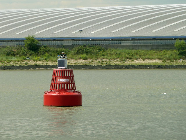
Image: © Robin Webster Taken: 30 Jun 2011
Marking the inside of the navigation channel around the point. Buoys on the nominally south side are red, on the other side green. In the background is the roof of a large warehouse. Viewed from the 'Princess Pocahontas' cruising upriver from Gravesend.
Images are licensed for reuse under creativecommons.org/licenses/by-sa/2.0
Image Location
Latitude
51.504051
Longitude
0.170789