Side Valley above Senghenydd
Introduction
The photograph on this page of Side Valley above Senghenydd by Colin Smith as part of the Geograph project.
The Geograph project started in 2005 with the aim of publishing, organising and preserving representative images for every square kilometre of Great Britain, Ireland and the Isle of Man.

There are currently over 7.5m images from over 14,400 individuals and you can help contribute to the project by visiting https://www.geograph.org.uk
Side Valley above Senghenydd
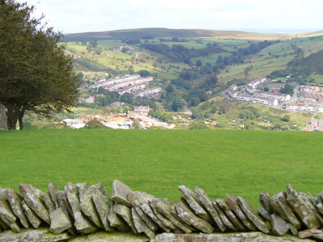
Image: © Colin Smith Taken: 24 Sep 2006
The valley from the former mining village leads up to the Rhymney Valley ridgeline. In the foreground is the top of a drystone dyke which surrounds pasture land.
Images are licensed for reuse under creativecommons.org/licenses/by-sa/2.0
Image Location
Latitude
51.616259
Longitude
-3.278176