Walled lane down towards Tal-y-bont
Introduction
The photograph on this page of Walled lane down towards Tal-y-bont by Jeremy Bolwell as part of the Geograph project.
The Geograph project started in 2005 with the aim of publishing, organising and preserving representative images for every square kilometre of Great Britain, Ireland and the Isle of Man.

There are currently over 7.5m images from over 14,400 individuals and you can help contribute to the project by visiting https://www.geograph.org.uk
Walled lane down towards Tal-y-bont
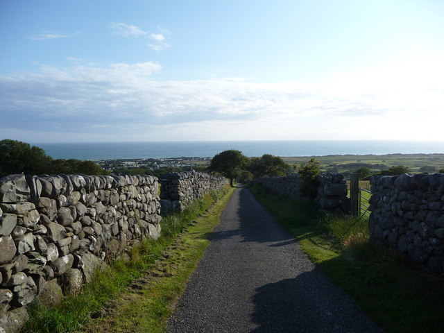
Image: © Jeremy Bolwell Taken: 29 Jun 2011
The lane here carried nice views out to the sea on a June evening.
Images are licensed for reuse under creativecommons.org/licenses/by-sa/2.0
Image Location
Latitude
52.77919
Longitude
-4.086533