Sandysike Industrial Estate
Introduction
The photograph on this page of Sandysike Industrial Estate by Oliver Dixon as part of the Geograph project.
The Geograph project started in 2005 with the aim of publishing, organising and preserving representative images for every square kilometre of Great Britain, Ireland and the Isle of Man.

There are currently over 7.5m images from over 14,400 individuals and you can help contribute to the project by visiting https://www.geograph.org.uk
Sandysike Industrial Estate
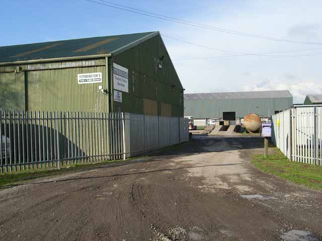
Image: © Oliver Dixon Taken: 24 Sep 2006
There are a number of industrial premises in a rural setting strung out along the road from Sandysike to the Fauld. The estate would appear to be sited on a large World War II installation - possibly an out-station of the ammunition depot at Longtown.
Images are licensed for reuse under creativecommons.org/licenses/by-sa/2.0
Image Location
Latitude
54.984806
Longitude
-2.959441