Turnpike Lane bus station
Introduction
The photograph on this page of Turnpike Lane bus station by Oast House Archive as part of the Geograph project.
The Geograph project started in 2005 with the aim of publishing, organising and preserving representative images for every square kilometre of Great Britain, Ireland and the Isle of Man.

There are currently over 7.5m images from over 14,400 individuals and you can help contribute to the project by visiting https://www.geograph.org.uk
Turnpike Lane bus station
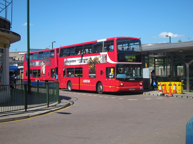
Image: © Oast House Archive Taken: 26 Jun 2011
Behind Turnpike Lane Underground station off Green Lanes.
Images are licensed for reuse under creativecommons.org/licenses/by-sa/2.0
Image Location
Latitude
51.590085
Longitude
-0.102585