Grazing land in Nelson
Introduction
The photograph on this page of Grazing land in Nelson by Bill Boaden as part of the Geograph project.
The Geograph project started in 2005 with the aim of publishing, organising and preserving representative images for every square kilometre of Great Britain, Ireland and the Isle of Man.

There are currently over 7.5m images from over 14,400 individuals and you can help contribute to the project by visiting https://www.geograph.org.uk
Grazing land in Nelson
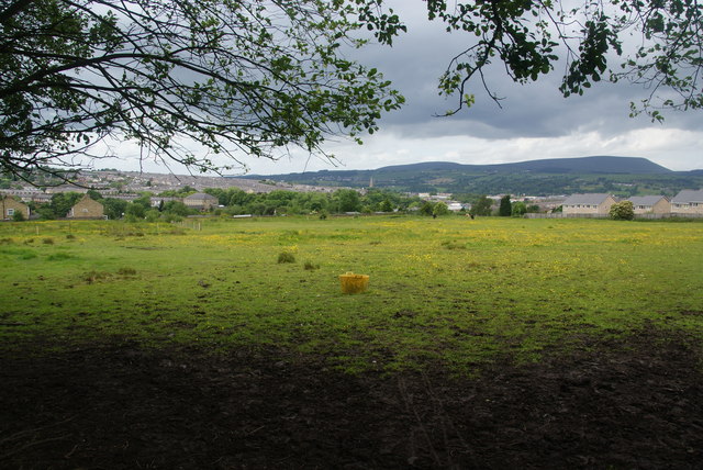
Image: © Bill Boaden Taken: 16 Jun 2011
This land is almost surrounded by encroaching suburbs, falling between the radial roads of Southfield Street and Barkerhouse Road.
Images are licensed for reuse under creativecommons.org/licenses/by-sa/2.0
Image Location
Latitude
53.832605
Longitude
-2.197945