Padiham: Partridge Hill
Introduction
The photograph on this page of Padiham: Partridge Hill by Dr Neil Clifton as part of the Geograph project.
The Geograph project started in 2005 with the aim of publishing, organising and preserving representative images for every square kilometre of Great Britain, Ireland and the Isle of Man.

There are currently over 7.5m images from over 14,400 individuals and you can help contribute to the project by visiting https://www.geograph.org.uk
Padiham: Partridge Hill
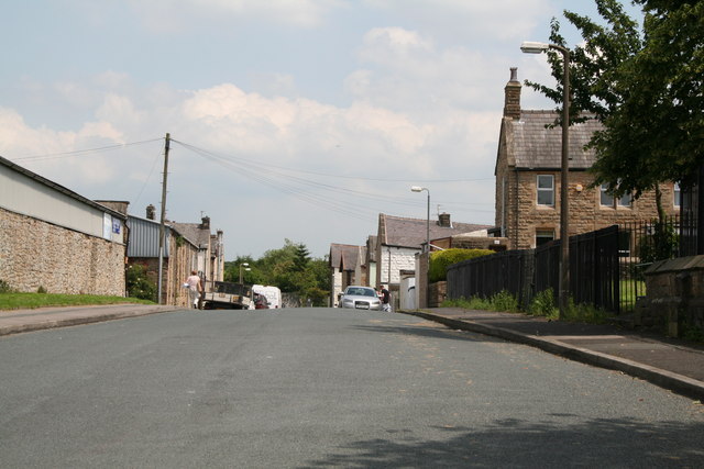
Image: © Dr Neil Clifton Taken: 27 Jun 2011
Looking east. The width of this street is because formerly a tramway ran down the left hand side, which conveyed coal from a colliery northeast of here to a staith near the town centre.
Images are licensed for reuse under creativecommons.org/licenses/by-sa/2.0
Image Location
Latitude
53.802346
Longitude
-2.310615