The Aire and Calder Navigation at the western end of Goole docks
Introduction
The photograph on this page of The Aire and Calder Navigation at the western end of Goole docks by Christine Johnstone as part of the Geograph project.
The Geograph project started in 2005 with the aim of publishing, organising and preserving representative images for every square kilometre of Great Britain, Ireland and the Isle of Man.

There are currently over 7.5m images from over 14,400 individuals and you can help contribute to the project by visiting https://www.geograph.org.uk
The Aire and Calder Navigation at the western end of Goole docks
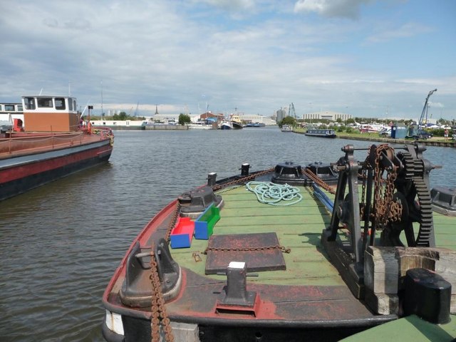
Image: © Christine Johnstone Taken: 29 Jun 2011
Taken from the Yorkshire Waterway Museum's tug Wheldale, which has a jebus [false bow] in front of it.
Images are licensed for reuse under creativecommons.org/licenses/by-sa/2.0
Image Location
Latitude
53.69548
Longitude
-0.887248