Lynefoot Farm
Introduction
The photograph on this page of Lynefoot Farm by Oliver Dixon as part of the Geograph project.
The Geograph project started in 2005 with the aim of publishing, organising and preserving representative images for every square kilometre of Great Britain, Ireland and the Isle of Man.

There are currently over 7.5m images from over 14,400 individuals and you can help contribute to the project by visiting https://www.geograph.org.uk
Lynefoot Farm
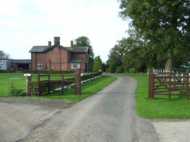
Image: © Oliver Dixon Taken: 24 Sep 2006
Just upstream from the confluence of the Lyne with the Esk. Unfortunately there is no public access to the river bank here.
Images are licensed for reuse under creativecommons.org/licenses/by-sa/2.0
Image Location
Latitude
54.975532
Longitude
-2.995154