ACF hut, Sofrydd
Introduction
The photograph on this page of ACF hut, Sofrydd by Jaggery as part of the Geograph project.
The Geograph project started in 2005 with the aim of publishing, organising and preserving representative images for every square kilometre of Great Britain, Ireland and the Isle of Man.

There are currently over 7.5m images from over 14,400 individuals and you can help contribute to the project by visiting https://www.geograph.org.uk
ACF hut, Sofrydd
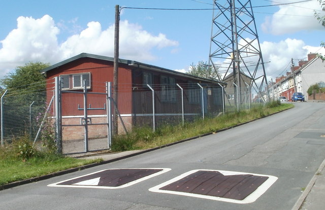
Image: © Jaggery Taken: 29 Jun 2011
Located on the south side of Rectory Road, next to an electricity pylon. http://www.geograph.org.uk/photo/2482500 The hut is used by the Swffryd detachment of Gwent ACF (Army Cadet Force). The spellings Swffryd and Sofrydd are used with about equal frequency in the village.
Images are licensed for reuse under creativecommons.org/licenses/by-sa/2.0
Image Location
Latitude
51.681638
Longitude
-3.128139