Braughing: The Brown Bear
Introduction
The photograph on this page of Braughing: The Brown Bear by Nigel Cox as part of the Geograph project.
The Geograph project started in 2005 with the aim of publishing, organising and preserving representative images for every square kilometre of Great Britain, Ireland and the Isle of Man.

There are currently over 7.5m images from over 14,400 individuals and you can help contribute to the project by visiting https://www.geograph.org.uk
Braughing: The Brown Bear
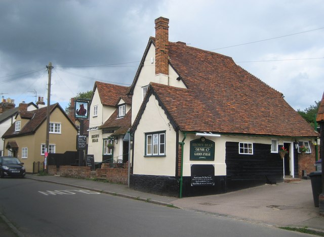
Image: © Nigel Cox Taken: 19 Jun 2011
As with Image The Brown Bear was once a 16th century timber-framed roughcast house, since converted into a public house. The 1878 Ordnance Survey map shows it as The Bear, but, by the time that the 1897 edition was printed, it had acquired its current name. It is a Grade II* Listed Building.
Images are licensed for reuse under creativecommons.org/licenses/by-sa/2.0
Image Location
Latitude
51.907184
Longitude
0.030108