Ellen Road, Aylesbury
Introduction
The photograph on this page of Ellen Road, Aylesbury by Rob Farrow as part of the Geograph project.
The Geograph project started in 2005 with the aim of publishing, organising and preserving representative images for every square kilometre of Great Britain, Ireland and the Isle of Man.

There are currently over 7.5m images from over 14,400 individuals and you can help contribute to the project by visiting https://www.geograph.org.uk
Ellen Road, Aylesbury
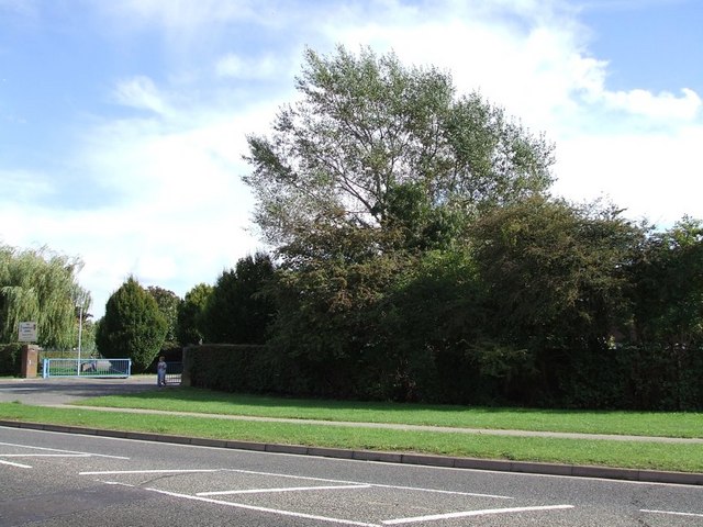
Image: © Rob Farrow Taken: 24 Sep 2006
The view across Ellen Road in southern Aylesbury looking towards the Mandeville School which is hiding behind the hedge. The school's gateway is on the left and a small geographer can be seen taking the first geograph photo for this square. (viz. Image])
Images are licensed for reuse under creativecommons.org/licenses/by-sa/2.0
Image Location
Latitude
51.798874
Longitude
-0.815185