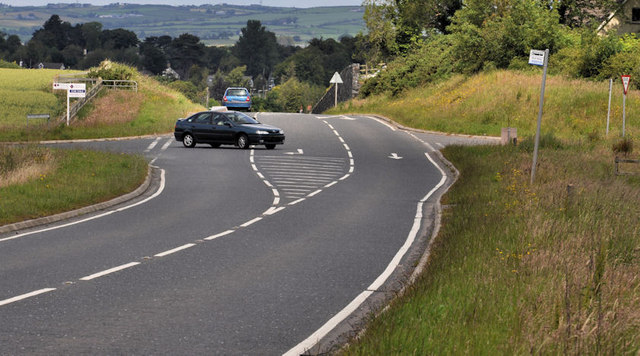
The Killinchy Road near Comber (1)
Introduction
The photograph on this page of The Killinchy Road near Comber (1) by Albert Bridge as part of the Geograph project.
The Geograph project started in 2005 with the aim of publishing, organising and preserving representative images for every square kilometre of Great Britain, Ireland and the Isle of Man.
There are currently over 7.5m images from over 14,400 individuals and you can help contribute to the project by visiting https://www.geograph.org.uk

Image: © Albert Bridge Taken: 28 Jun 2011
The ups and downs of roads through drumlin country were typified in this stretch of the Killyleagh – Comber Road, approaching the Drumhirk Road (left) to the south of Comber. The road was realigned but there seemed to be a hitch in the work. The embankment was built but lay, untouched and gathering weeds, for several years until completion a few years ago. Part of the line of the, now abandoned, old road Image can be seen opposite the Drumhirk Road. The Google map is not accurate showing the reverse of reality.

