A40, Llanwenarth
Introduction
The photograph on this page of A40, Llanwenarth by Jaggery as part of the Geograph project.
The Geograph project started in 2005 with the aim of publishing, organising and preserving representative images for every square kilometre of Great Britain, Ireland and the Isle of Man.

There are currently over 7.5m images from over 14,400 individuals and you can help contribute to the project by visiting https://www.geograph.org.uk
A40, Llanwenarth
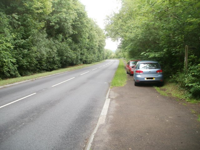
Image: © Jaggery Taken: 19 Jun 2011
Looking along the A40 in the direction of Abergavenny. The cars are parked near a stile leading to a field http://www.geograph.org.uk/photo/2481177 on the north bank of the River Usk.
Images are licensed for reuse under creativecommons.org/licenses/by-sa/2.0
Image Location
Latitude
51.835846
Longitude
-3.079741