Bowling Green Longridge
Introduction
The photograph on this page of Bowling Green Longridge by Phil and Juliette Platt as part of the Geograph project.
The Geograph project started in 2005 with the aim of publishing, organising and preserving representative images for every square kilometre of Great Britain, Ireland and the Isle of Man.

There are currently over 7.5m images from over 14,400 individuals and you can help contribute to the project by visiting https://www.geograph.org.uk
Bowling Green Longridge
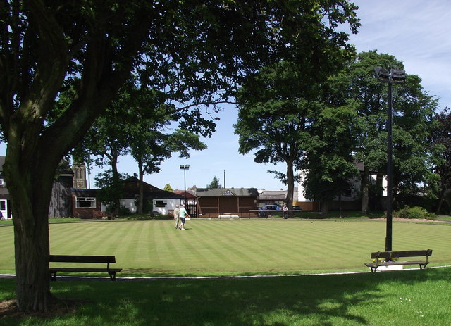
Image: © Phil and Juliette Platt Taken: 28 Jun 2011
On a weekday afternoon, just one match in progress.
Images are licensed for reuse under creativecommons.org/licenses/by-sa/2.0
Image Location


Leaflet Map data © OpenStreetMap
Latitude
53.830889
Longitude
-2.603763