Start of the Speet Gill Trail
Introduction
The photograph on this page of Start of the Speet Gill Trail by Rose and Trev Clough as part of the Geograph project.
The Geograph project started in 2005 with the aim of publishing, organising and preserving representative images for every square kilometre of Great Britain, Ireland and the Isle of Man.

There are currently over 7.5m images from over 14,400 individuals and you can help contribute to the project by visiting https://www.geograph.org.uk
Start of the Speet Gill Trail
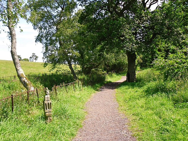
Image: © Rose and Trev Clough Taken: 14 Jun 2011
The Speet Gill stream is between the railings on the left of the picture. The trail is a 1km circular country walk suitable for all abilities, created in 2002 http://www.lhi.org.uk/projects_directory/projects_by_region/north_west/cumbria/the_speet_gill_project/index.html# . The quirky waymarker was carved by artist Fiona Hudson, based on drawings by local schoolchildren.
Images are licensed for reuse under creativecommons.org/licenses/by-sa/2.0
Image Location
Latitude
54.822981
Longitude
-3.152648