2011 : A432 Badminton Road, Downend
Introduction
The photograph on this page of 2011 : A432 Badminton Road, Downend by Maurice Pullin as part of the Geograph project.
The Geograph project started in 2005 with the aim of publishing, organising and preserving representative images for every square kilometre of Great Britain, Ireland and the Isle of Man.

There are currently over 7.5m images from over 14,400 individuals and you can help contribute to the project by visiting https://www.geograph.org.uk
2011 : A432 Badminton Road, Downend
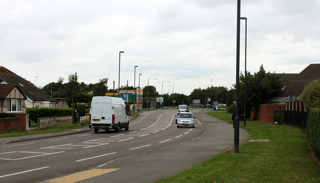
Image: © Maurice Pullin Taken: 20 Jun 2011
From the western end of Westons Brake. Approaching the A4174 Avon Ring Road and roundabout. The A432 continues to Coalpit Heath and Chipping Sodbury though it does not get as far as Badminton (it did before it became the A432).
Images are licensed for reuse under creativecommons.org/licenses/by-sa/2.0
Image Location
Latitude
51.503958
Longitude
-2.490237