Proctors Row
Introduction
The photograph on this page of Proctors Row by Rose and Trev Clough as part of the Geograph project.
The Geograph project started in 2005 with the aim of publishing, organising and preserving representative images for every square kilometre of Great Britain, Ireland and the Isle of Man.

There are currently over 7.5m images from over 14,400 individuals and you can help contribute to the project by visiting https://www.geograph.org.uk
Proctors Row
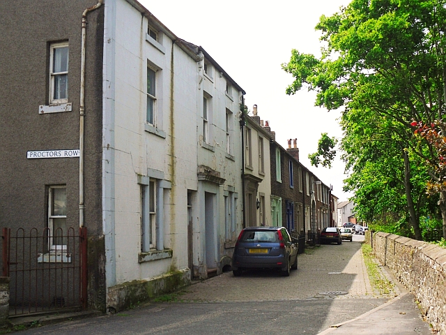
Image: © Rose and Trev Clough Taken: 4 Jun 2011
A terrace of early 19th century cottages facing St. Mary's churchyard. The name derives from the Proctor's Office, which was in the row http://www.imagesofengland.org.uk/details/default.aspx?id=72044 .
Images are licensed for reuse under creativecommons.org/licenses/by-sa/2.0
Image Location
Latitude
54.823367
Longitude
-3.159352