Allt y Gegin, Minera
Introduction
The photograph on this page of Allt y Gegin, Minera by Eirian Evans as part of the Geograph project.
The Geograph project started in 2005 with the aim of publishing, organising and preserving representative images for every square kilometre of Great Britain, Ireland and the Isle of Man.

There are currently over 7.5m images from over 14,400 individuals and you can help contribute to the project by visiting https://www.geograph.org.uk
Allt y Gegin, Minera
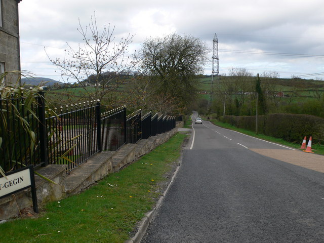
Image: © Eirian Evans Taken: 7 Apr 2011
A very steep hill, the B5102, which eventually leads to Cefn-y-Bedd.
Images are licensed for reuse under creativecommons.org/licenses/by-sa/2.0
Image Location
Latitude
53.065172
Longitude
-3.082333