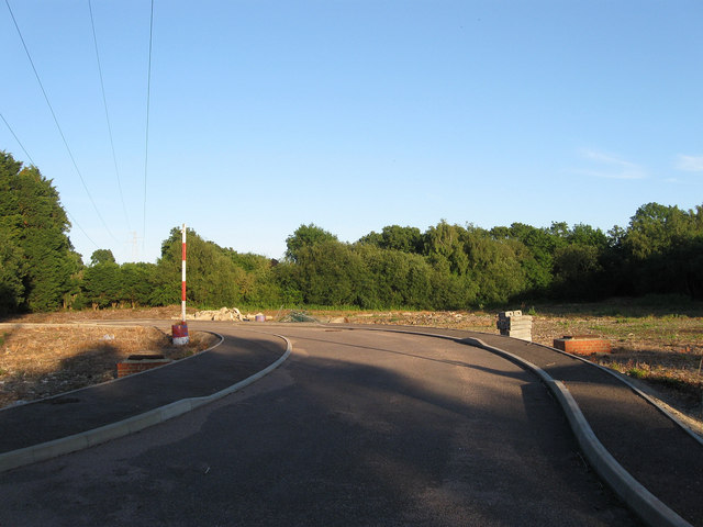
Site of Arlington Concrete Blocks Works
Introduction
The photograph on this page of Site of Arlington Concrete Blocks Works by Simon Carey as part of the Geograph project.
The Geograph project started in 2005 with the aim of publishing, organising and preserving representative images for every square kilometre of Great Britain, Ireland and the Isle of Man.
There are currently over 7.5m images from over 14,400 individuals and you can help contribute to the project by visiting https://www.geograph.org.uk

Image: © Simon Carey Taken: 26 Jun 2011
Marked as a brickyard in Arlington's 1843 tithe survey and as an old brick kiln on the 1874 OS map after which it seems to have fallen out of use until the 1950s when it extended into a neighbouring field and became Arlington Concrete Blocks Works which closed about five years ago. Since 2008 there has been planning permission to build six homes on the site which has yet to be taken up.

