Lane near Kersford Barton
Introduction
The photograph on this page of Lane near Kersford Barton by Derek Harper as part of the Geograph project.
The Geograph project started in 2005 with the aim of publishing, organising and preserving representative images for every square kilometre of Great Britain, Ireland and the Isle of Man.

There are currently over 7.5m images from over 14,400 individuals and you can help contribute to the project by visiting https://www.geograph.org.uk
Lane near Kersford Barton
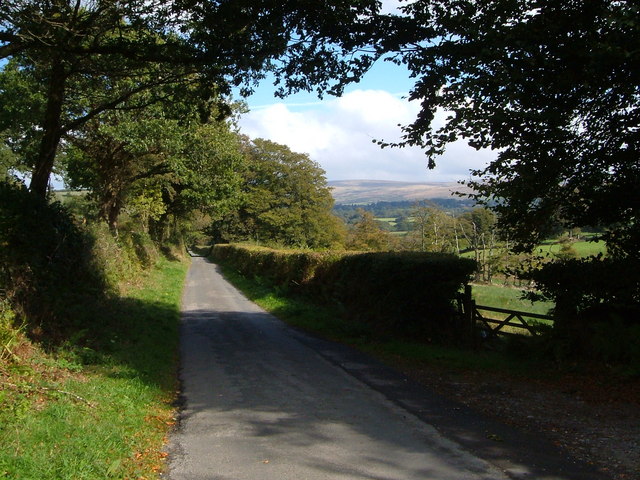
Image: © Derek Harper Taken: 23 Sep 2006
Taken at the junction with the farm lane leading off to Kersford Barton, just visible on the right. The lane ahead goes to Watergate Cross. Dartmoor is in the distance.
Images are licensed for reuse under creativecommons.org/licenses/by-sa/2.0
Image Location


Leaflet Map data © OpenStreetMap
Latitude
50.661284
Longitude
-4.125781