The edge of Hoblingwell Wood, St Paul's Cray
Introduction
The photograph on this page of The edge of Hoblingwell Wood, St Paul's Cray by Marathon as part of the Geograph project.
The Geograph project started in 2005 with the aim of publishing, organising and preserving representative images for every square kilometre of Great Britain, Ireland and the Isle of Man.

There are currently over 7.5m images from over 14,400 individuals and you can help contribute to the project by visiting https://www.geograph.org.uk
The edge of Hoblingwell Wood, St Paul's Cray
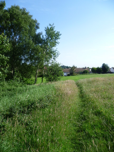
Image: © Marathon Taken: 27 Jun 2011
Hoblingwell Wood is an open space of two halves. The eastern part is a fairly flat and formal recreation ground whilst the western half is hilly and largely wooded. This is looking along the junction of the two with the edge of the woodland on the left.
Images are licensed for reuse under creativecommons.org/licenses/by-sa/2.0
Image Location
Latitude
51.403137
Longitude
0.097423