Towards Kersford Barton
Introduction
The photograph on this page of Towards Kersford Barton by Derek Harper as part of the Geograph project.
The Geograph project started in 2005 with the aim of publishing, organising and preserving representative images for every square kilometre of Great Britain, Ireland and the Isle of Man.

There are currently over 7.5m images from over 14,400 individuals and you can help contribute to the project by visiting https://www.geograph.org.uk
Towards Kersford Barton
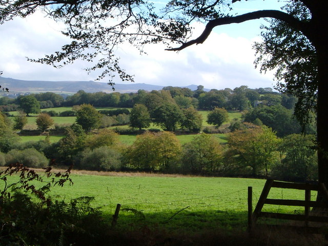
Image: © Derek Harper Taken: 23 Sep 2006
Only the faintest glimpses of the farm buildings are visible through the trees in this view from the Hedge Cross - Watergate Cross lane across a net of small fields.
Images are licensed for reuse under creativecommons.org/licenses/by-sa/2.0
Image Location


Leaflet Map data © OpenStreetMap
Latitude
50.656957
Longitude
-4.126293