Barley field with church tower by Claverley, Shropshire
Introduction
The photograph on this page of Barley field with church tower by Claverley, Shropshire by Roger D Kidd as part of the Geograph project.
The Geograph project started in 2005 with the aim of publishing, organising and preserving representative images for every square kilometre of Great Britain, Ireland and the Isle of Man.

There are currently over 7.5m images from over 14,400 individuals and you can help contribute to the project by visiting https://www.geograph.org.uk
Barley field with church tower by Claverley, Shropshire
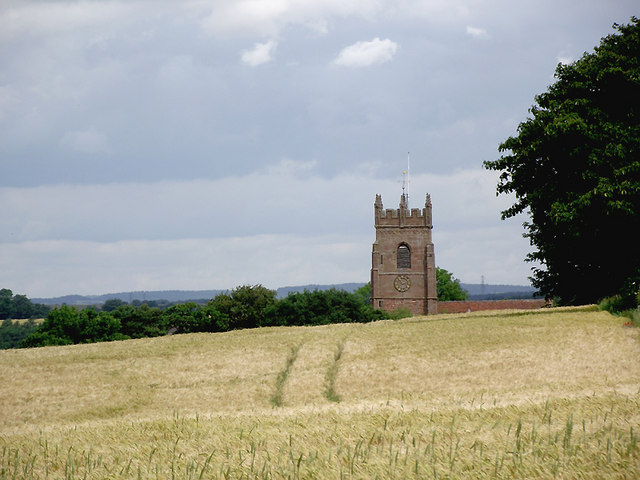
Image: © Roger D Kidd Taken: 24 Jun 2011
This telephoto assisted image from the middle of the barley field shows the South Shropshire landscape with the 12th/15th century tower of All Saints Church dominating the skyline. A wide angle view can be seen here: Image]
Images are licensed for reuse under creativecommons.org/licenses/by-sa/2.0
Image Location


Leaflet Map data © OpenStreetMap
Latitude
52.534223
Longitude
-2.306492