Barley field and house near Claverley, Shropshire
Introduction
The photograph on this page of Barley field and house near Claverley, Shropshire by Roger D Kidd as part of the Geograph project.
The Geograph project started in 2005 with the aim of publishing, organising and preserving representative images for every square kilometre of Great Britain, Ireland and the Isle of Man.

There are currently over 7.5m images from over 14,400 individuals and you can help contribute to the project by visiting https://www.geograph.org.uk
Barley field and house near Claverley, Shropshire
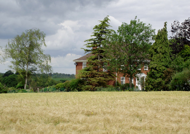
Image: © Roger D Kidd Taken: 24 Jun 2011
The house is the south-west corner one in Lodge Park, where properties are of substantial proportions.
Images are licensed for reuse under creativecommons.org/licenses/by-sa/2.0
Image Location
Latitude
52.534235
Longitude
-2.305608