Llandeilo Civic Hall
Introduction
The photograph on this page of Llandeilo Civic Hall by Jaggery as part of the Geograph project.
The Geograph project started in 2005 with the aim of publishing, organising and preserving representative images for every square kilometre of Great Britain, Ireland and the Isle of Man.

There are currently over 7.5m images from over 14,400 individuals and you can help contribute to the project by visiting https://www.geograph.org.uk
Llandeilo Civic Hall
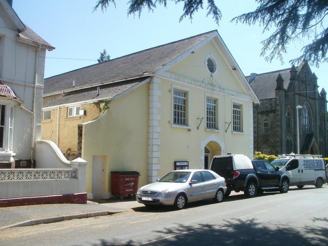
Image: © Jaggery Taken: 26 Jun 2011
Located on Crescent Road. The hall was built in 1887 to mark the golden jubilee of Queen Victoria's accession in 1837. For many years in use as a Territorial Army Drill Hall, in the 1970s it was taken over by the local council for use as a multi-purpose civic and community hall. The building at the right edge of the view is Capel Newydd. http://www.geograph.org.uk/photo/2478639
Images are licensed for reuse under creativecommons.org/licenses/by-sa/2.0
Image Location
Latitude
51.883304
Longitude
-3.990432