Latimer Road, Llandeilo
Introduction
The photograph on this page of Latimer Road, Llandeilo by Jaggery as part of the Geograph project.
The Geograph project started in 2005 with the aim of publishing, organising and preserving representative images for every square kilometre of Great Britain, Ireland and the Isle of Man.

There are currently over 7.5m images from over 14,400 individuals and you can help contribute to the project by visiting https://www.geograph.org.uk
Latimer Road, Llandeilo
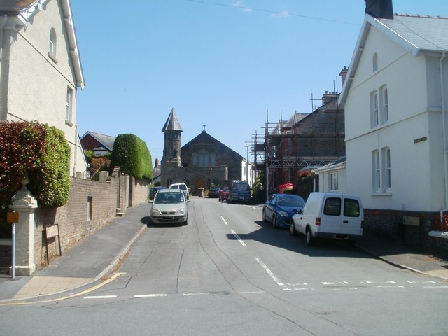
Image: © Jaggery Taken: 26 Jun 2011
Viewed from Crescent Road. The churchlike building http://www.geograph.org.uk/photo/2478515 in the distance was indeed formerly a church. The building was converted into 4 flats in the 1990s.
Images are licensed for reuse under creativecommons.org/licenses/by-sa/2.0
Image Location
Latitude
51.883304
Longitude
-3.990432