St Paul's Court, Llandeilo
Introduction
The photograph on this page of St Paul's Court, Llandeilo by Jaggery as part of the Geograph project.
The Geograph project started in 2005 with the aim of publishing, organising and preserving representative images for every square kilometre of Great Britain, Ireland and the Isle of Man.

There are currently over 7.5m images from over 14,400 individuals and you can help contribute to the project by visiting https://www.geograph.org.uk
St Paul's Court, Llandeilo
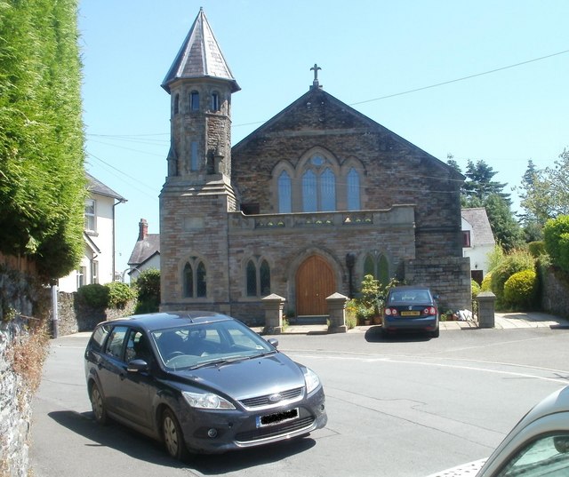
Image: © Jaggery Taken: 26 Jun 2011
Built in 1900 as St Paul's Welsh Methodist church. Soon after closure in the early 1990s, the church was converted into 4 flats.
Images are licensed for reuse under creativecommons.org/licenses/by-sa/2.0
Image Location
Latitude
51.883304
Longitude
-3.990432